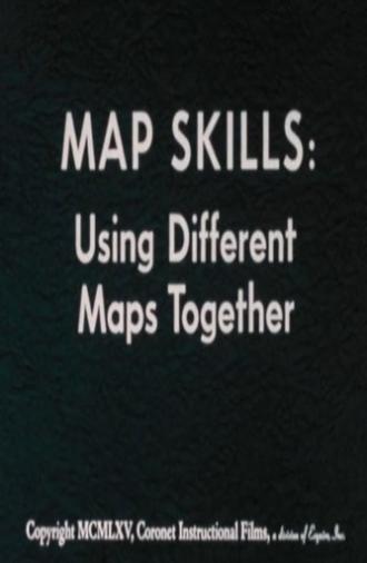
Map Skills: Using Different Maps Together (1960)
Through animation, maps of the same scale and projection are combined to show relationships between natural features of the earth, human use, and social and political features. Projects different kinds of animated maps of the same scale and explains how the maps are used in gaining an understanding of the relationships between the social, political, and natural features of the earth.
User rating:
Cast
See More
Storyline
Through animation, maps of the same scale and projection are combined to show relationships between natural features of the earth, human use, and social and political features. Projects different kinds of animated maps of the same scale and explains how the maps are used in gaining an understanding of the relationships between the social, political, and natural features of the earth.
| Tagline: | |
| Certification: | NR |
Cast
Directed By
Writing Credits
Production Crew
Edited By
Costume and Makeup
Sound
Visual Effects
Camera
Lighting
Art Department
Other Crew
Reviews & Recommendations
Video Gallery
Coming Soon...
Photo Gallery
Coming Soon...


